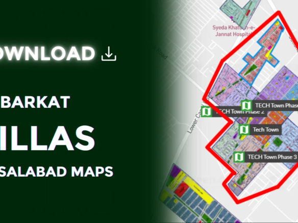
Badin Sindh

Badin Sindh

Badin is a prominent city in the Sindh province of Pakistan, known for its rich cultural heritage, historical significance, and strategic location. This article provides a detailed overview of Badin, covering essential aspects such as its geography, weather, postal code, distance from Hyderabad, and notable landmarks like the Indus Hospital Badin.

Overview

Badin is a district in Sindh, Pakistan, and is well known for its agricultural production, particularly rice and sugarcane. The city is an important part of Sindh’s economy and culture. It is also home to various historical sites and serves as a gateway to the coastal belt of Sindh.

Key Facts About Badin

Feature

Details

Location

Sindh, Pakistan

Postal Code

72200

Province

Sindh

Attached Branch

72201

Distance from Hyderabad

105 km (65 miles)

Notable Landmark

Indus Hospital Badin

Weather

Badin experiences a hot and arid climate for most of the year. Summers are long and intense, with temperatures often exceeding 40°C. Winters are mild, making it a favorable season for tourists and residents alike. The monsoon season brings moderate rainfall, which supports agriculture in the region.

Seasonal Weather Patterns in Badin

  • Summer (April – September): Hot and dry with high temperatures
  • Winter (November – February): Mild and pleasant
  • Monsoon (July – August): Moderate rainfall

Postal Code

The postal code of Badin is 72200, with an attached branch code of 72201. This helps in efficient mail sorting and delivery. Knowing the correct postal code is essential for sending and receiving parcels without delays.

Indus Hospital Badin

Under the Public-Private Partnership agreement, the Government of Sindh handed over the management of Civil Hospital Badin to Indus Hospital. The hospital serves a large population, covering areas from Tharparkar to Thatta, providing essential healthcare services and improving medical accessibility in the region.

Hyderabad to Badin Distance

Badin is located approximately 105 kilometers (65 miles) away from Hyderabad by road. The aerial distance between the two cities is 94 kilometers (59 miles). Depending on the mode of transport, travel time may vary:

  • By car: Around 1 hour (at an average speed of 112 km/h)
  • By bus: Approximately 1.5 to 2 hours
  • By air: No direct flights available

Map

Badin Sindh Location

Badin is geographically positioned at 24.656°N latitude and 68.8384°E longitude. The district borders the Arabian Sea, making it a crucial area for trade and agriculture. You can view Badin on Google Maps to explore its roads, landmarks, and connectivity with nearby cities.

FAQs

About Badin

1. What is Badin known for?

Badin is famous for its agricultural production, historical significance, and its role as a gateway to Sindh’s coastal belt. It is also known for the Indus Hospital and its rich cultural heritage.

2. What is the postal code of Badin Sindh?

The postal code of Badin is 72200, with an attached branch code of 72201.

3. How far is Hyderabad from Badin?

The distance between Hyderabad and Badin is 105 kilometers (65 miles) by road and 94 kilometers (59 miles) by air.

4. What is the weather like in Badin?

Badin has a hot and arid climate with extreme summers, mild winters, and moderate monsoon rainfall.

5. What is the significance of Indus Hospital Badin?

Indus Hospital Badin, formerly Civil Hospital Badin, provides essential healthcare services to people from various districts, including Tharparkar and Thatta.

Compare listings

Compare