
- 0320-6535582
- info@crystalpakistan.com
- Chenone Road D-Ground, Faisalabad
Sujawal Sindh
Sujawal is a district located in the Sindh province of Pakistan, known for its agricultural landscape, historical significance, and proximity to the Indus River. This district, which was carved out of the larger Thatta District in 2013, is an important administrative region in Sindh. It offers a rich blend of culture, nature, and history, making it an area worth exploring. In this article, we will provide a detailed overview of Sujawal, including its weather, postal code, geographical location, and more.
Introduction to Sujawal
Sujawal is situated in the southeastern part of Sindh, Pakistan, with a rich history dating back to the time of the Talpur dynasty in the late 18th century. It was originally known as Maanjar, a name derived from its wetlands. Today, Sujawal is the headquarters of its district, which comprises several towns and villages, including Jati, Shah Bundar, and Mirpur Bathoro.
Sujawal is bordered to the northwest by the Indus River, separating it from Thatta District. The district is known for its agricultural activities, with large swathes of land dedicated to farming, particularly rice and wheat.
Weather
Sujawal experiences a moderate climate, with hot summers and mild winters. The summer temperatures often soar to around 40°C, while winters can be cooler, with temperatures ranging between 20°C to 25°C. Humidity levels in Sujawal can also be high due to its proximity to the sea. The district’s weather can impact its agriculture, particularly the cultivation of seasonal crops.
Sujawal District Overview
In 2013, the Sindh provincial government made the decision to split the larger Thatta District into two separate districts. As a result, Sujawal became a newly established district. The decision was officially made through a notification by the Revenue Department of Sindh, and Sujawal was declared the 28th district of the province. Its headquarters are located in the town of Sujawal itself.
Geographical Location and Map
Sujawal is strategically located near the Indus River and is just 20 km west of Thatta. The district includes several smaller towns and villages, all of which contribute to its agricultural and economic significance. The district’s proximity to the sea also makes it an ideal location for fishing and related activities.
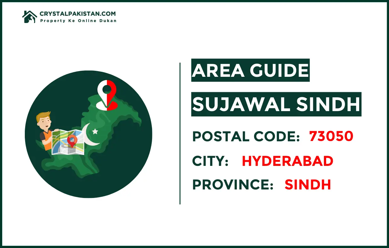
Postal Code
The postal code for Sujawal is 73050, and it falls under the jurisdiction of Hyderabad. Postal codes play a vital role in ensuring accurate mail delivery within Sujawal and its neighboring areas. The area is part of a delivery region, which ensures that letters and packages reach their destination in a timely manner.
Culture and Religion
The population of Sujawal is predominantly Muslim, with around 97% of the population practicing Islam. However, there is a small Hindu community, making Sujawal a multicultural district. The district is known for its agricultural activities, and its people mainly speak Sindhi.
Google Map
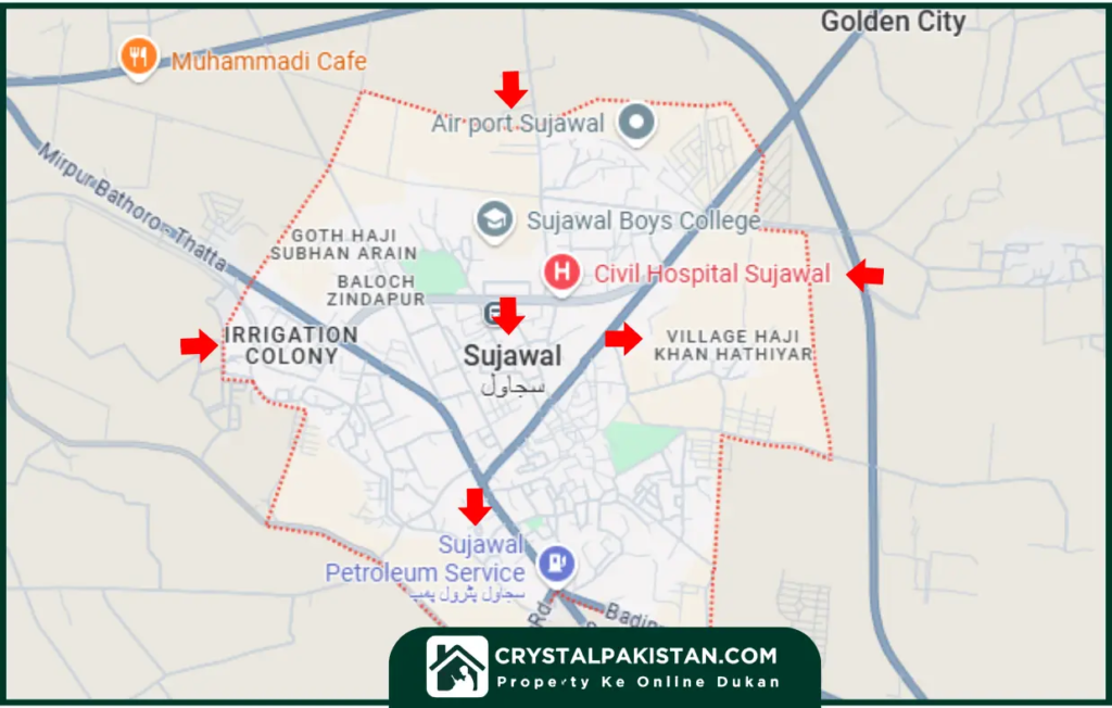
For those looking to explore Sujawal and its surrounding areas on a map, Google Maps is an excellent resource. The map provides detailed information about the locations of towns, villages, and landmarks within Sujawal. It is an essential tool for travelers, businesses, and residents alike to navigate the region.
Sujawal City
Sujawal city serves as the administrative capital of the district. While it is a relatively small town compared to larger cities in Sindh, it holds significance as the political and cultural heart of the region. The city is home to various administrative offices, schools, and businesses.
Table: Key Information About Sujawal
Category | Details |
District Name | Sujawal |
Postal Code | 73050 |
Province | Sindh |
Climate | Hot summers, mild winters |
Major Religion | Islam (97%), Hinduism (2.65%) |
Languages Spoken | Sindhi |
Key Industry | Agriculture, Fishing |
FAQs
About Sujawal Sindh
1. What is the postal code for Sujawal?
2. What is the climate like in Sujawal?
3. How far is Sujawal from Thatta?
4. What is the primary industry in Sujawal?
5. How can I find Sujawal on Google Maps?
Sujawal is a unique and historical district in Sindh, Pakistan, offering a glimpse into the region’s agricultural life, rich culture, and moderate climate. Whether you are interested in visiting, learning about its history, or finding your way to this district, Sujawal has much to offer. With its key location near the Indus River and its growing infrastructure, Sujawal is set to play an important role in the future development of Sindh.
Sign up for our newsletters
The best of Business news, in your inbox.